
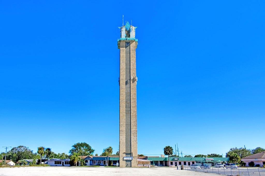
Four Corners Monument
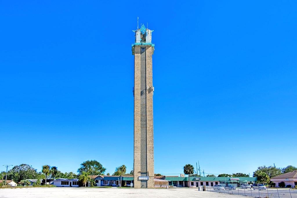
The Four Corners Monument is a unique place in the United States where visitors can stand in four states simultaneously: Arizona, Colorado, New Mexico, and Utah. This intersection is the only one of its kind in the country and is a popular tourist attraction. People visiting can quite literally have one foot in each of the four states, which makes for a great photo opportunity. The monument itself is made of a granite disk embedded in the ground, surrounded by flags representing each state. What makes this site even more fascinating is its precise positioning in the desert, offering a surreal moment of geographical confluence. Though it may seem like nothing more than a novelty, the Four Corners symbolize the coming together of state identities within one cohesive spot.
The Longest State Border
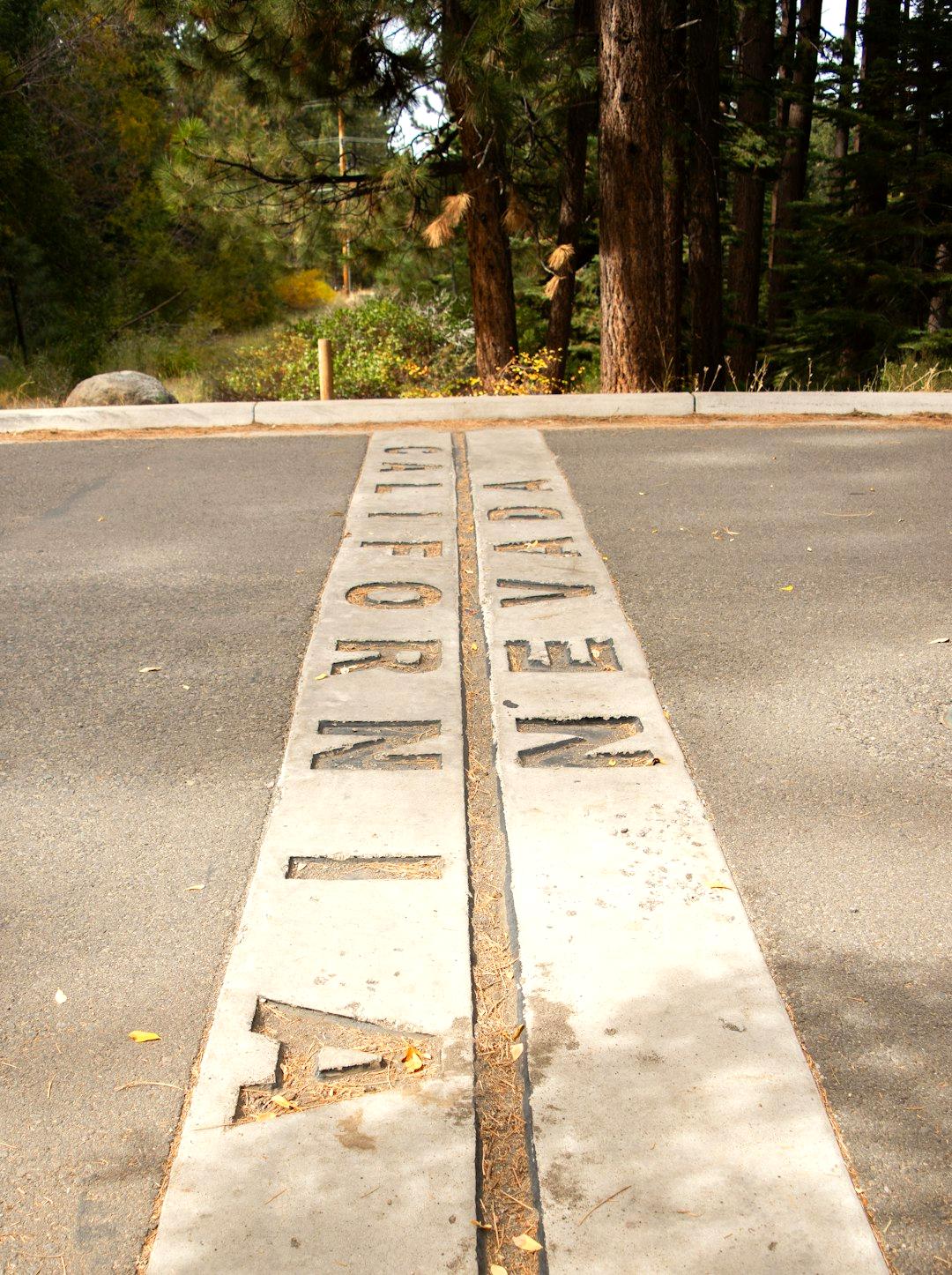
The longest straight-line border in the United States stretches between California and Nevada, spanning roughly 400 miles. This boundary is exceptional because it doesn’t bend, curve, or deviate the way many other state lines do. This line was drawn very carefully, ensuring a consistent direction without any detours. Such a precision piece of geography stands in stark contrast to the natural boundaries often determined by rivers and mountain ranges. The length and straightness of this border make it a geographical wonder in its own right. Maintaining this straight line required advanced surveying techniques at the time, marking human endeavor over natural impediments.
Mississippi River as a Natural Border
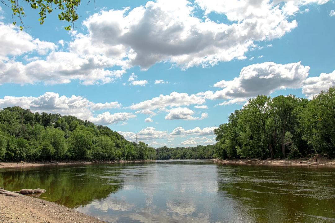
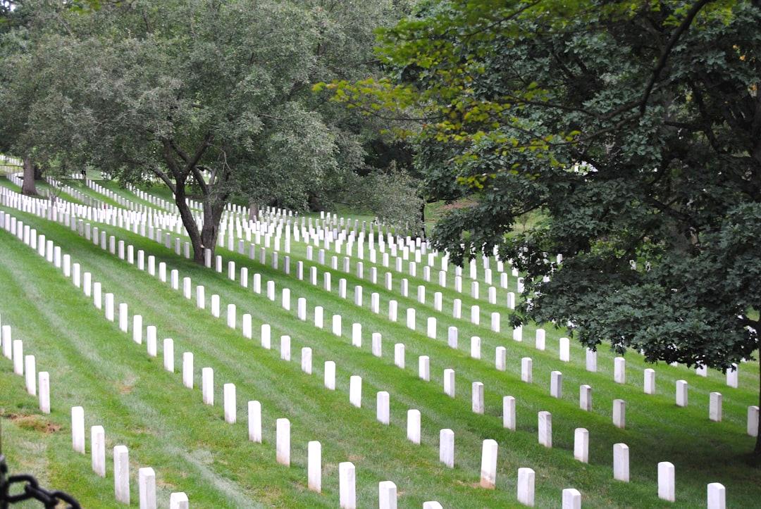
The Mississippi River is one of the most significant natural borders in the United States, serving as a boundary for 10 states including Minnesota, Iowa, and Louisiana. Its majestic flow has long divided different regions and provided a natural delineation between areas. The river’s importance extends beyond borders; it has historically served as a crucial route for transportation and trade. This winding watercourse has shaped political boundaries as well and continues to be a defining feature in the geography of the U.S. Its course is ever-changing, reshaping borders in a natural, albeit slow, process. In this way, the river is a natural testament to the fluidity and impermanence of man-made lines.
Kentucky Bend
Kentucky Bend is a geographic oddity and a small piece of Kentucky bordered on three sides by the Mississippi River and sharing a boundary with Tennessee. Known for its isolation, this piece of land is only accessible via roads from Tennessee, making it somewhat peculiar. This bend is the result of surveying and river meandering, essentially trapping a part of Kentucky completely surrounded by its neighbor. Because of its unique location, residents live in a curious blend of two state cultures while belonging administratively to one. The area’s unusual setup provides a vivid example of how geography can defy straightforward regulations and laws.
No Straight Lines in Hawaii
Hawaii is distinguished as the only U.S. state without any straight-line borders, being entirely encircled by the Pacific Ocean. The boundaries of Hawaii are defined purely by its natural coastline, resulting in an outline that mirrors its volcanic origins. The lack of straight lines reflects its unique status among the U.S. states, setting it apart in both geographical and cultural imagery. Unlike mainland states marked by impersonal lines and political divisions, Hawaii’s borders are a testament to its organic formation. This natural outline complements its tropical allure, giving it an unconfined, free form that appeals to the imagination.
Delaware’s Arc Border
Delaware’s northern border features a fascinating 12-mile arc, stemming from a land grant dating back to 1681. This arc is a relic of colonial times and stands out as one of the most unusual borders globally. The curved boundary serves as a reminder of how territories were allocated according to royal charters and the early cartographic practices. The shape creates an interesting geographic feature that has jurisdictional implications even today. It functions as both a historical marker and a living example of a border determined not by the land’s physical features but by archaic cartography.
Boundary Waters with Canada
Minnesota shares a vast water-based border with Canada, which includes lakes, rivers, and streams stretching across the rugged landscape. This aquatic boundary entails a delicate balance of geography with regulation, as some islands on the Canadian side lie south of Minnesota’s territorial limits. Such a watery boundary shapes not only maps but also helps define the regional culture and economy. The intricacy of this border reflects the natural resources of the area, adding layers to the geographical dialogue between two nations. It highlights how water can both divide and unify, sustaining a unique cross-border relationship.
West Virginia’s Creation
In 1863, amid the Civil War, West Virginia seceded from Virginia to become its own state, resulting in a border defined politically rather than geographically. This creation marked a pivotal moment in U.S. history when political need outweighed geographic logic. Formed from discontent and conflict, the carving out of West Virginia left boundaries that reflect a story of division and newfound identity. The lines serve as testament to internal disagreements and historical upheavals that defined much of America’s landscape. West Virginia’s borders echo the clamor for self-determination prevalent in its formation and subsequent history.
Michigan’s Upper Peninsula
Michigan’s Upper Peninsula (UP) is geographically closer to Wisconsin and shares much culturally with it, yet it remains a part of Michigan due to border compromises from as far back as 1836. Known for its dense forests and Great Lake shorelines, the UP represents an intriguing case of political ideology versus geographical reality. When Michigan and Ohio were quarreling over the Toledo Strip, Michigan received the Upper Peninsula to compensate for the loss. This area, while far from Michigan’s mainland, provides a distinct aspect of cultural identity tied intricately to the state. Here, borders tell a story of compromise, sacrifice, and shared histories.
Colorado’s “Square” State Myth

Colorado is often referred to as a perfect rectangle, yet this is more myth than reality. Surveying errors in the 19th century made its borders slightly irregular, debunking the squared-off state myth. Originally, it was intended to have tidy, right-angle lines encompassing its territory. However, inaccuracies in early surveying left some of that goal unfulfilled. The slight irregularities in Colorado’s shape serve as a reminder of the fallibility of human endeavors against the backdrop of natural landscapes. Despite this, its reputation as a ‘square’ state endures, embedded in the public consciousness as a symbol of order settled on a wobbly Earth.