
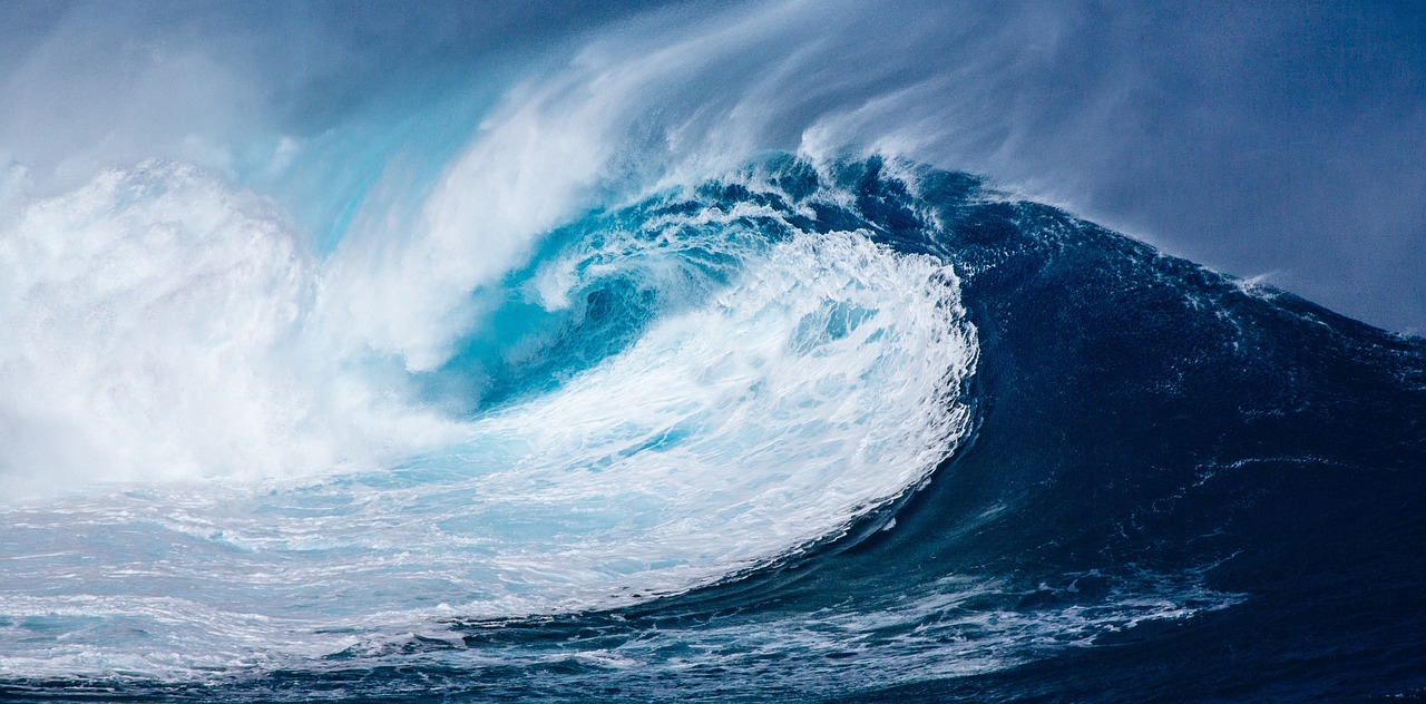
Japan: The Tsunami Capital
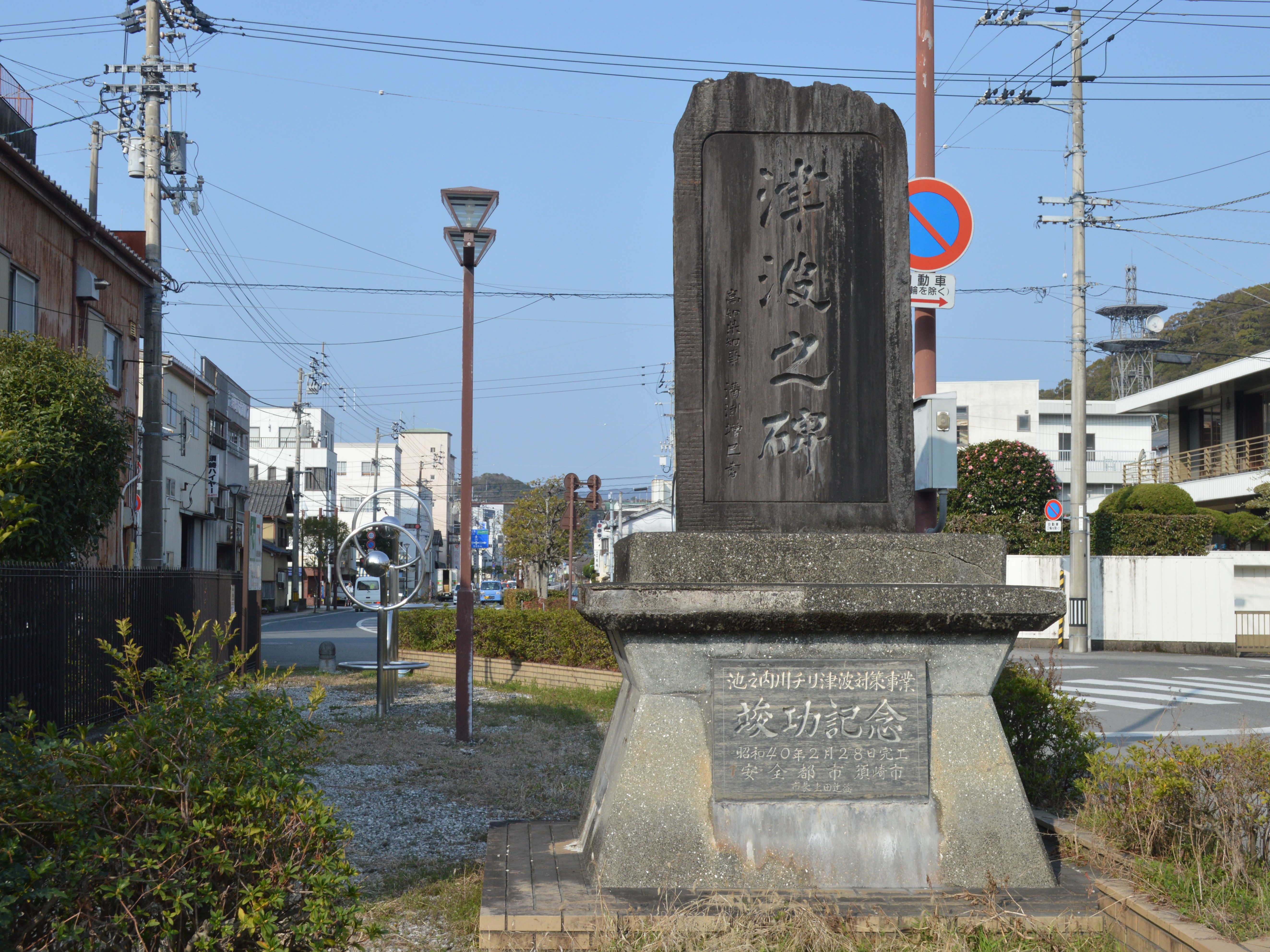
Japan stands as the world’s most tsunami-vulnerable nation, a reputation cemented by its location within the volatile Pacific Ring of Fire. The unforgettable Great East Japan Earthquake in 2011 unleashed a catastrophic tsunami that led to over 18,000 deaths and caused widespread devastation, particularly in the Tōhoku region and the Fukushima Daiichi nuclear plant. According to the Japan Meteorological Agency, Japan experiences an average of 20 tsunamis annually, although many are minor and pass unnoticed by the public. In the wake of 2011, Japanese authorities poured massive resources into constructing towering sea walls, developing rapid warning systems, and organizing nationwide evacuation drills. By 2024, public awareness campaigns and school-based disaster education have made communities more resilient, as measured by annual government resilience audits. Despite these advances, recent simulation studies from the University of Tokyo warn that densely populated coastal cities like Sendai and Yokohama remain highly vulnerable to a future “mega-tsunami,” underscoring the ongoing gravity of the threat.
Indonesia: A History of Destruction
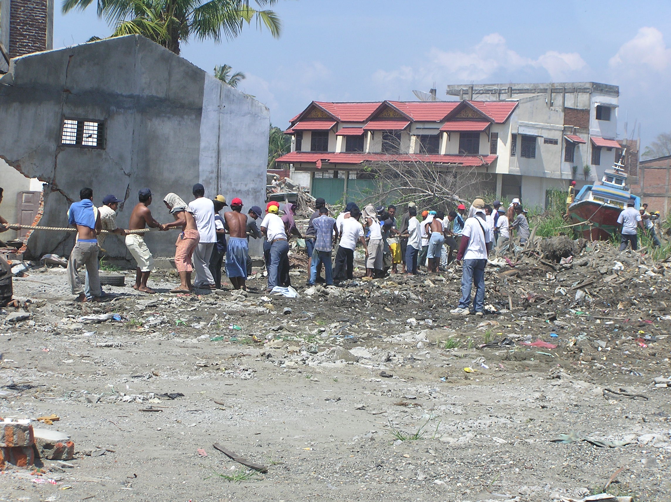
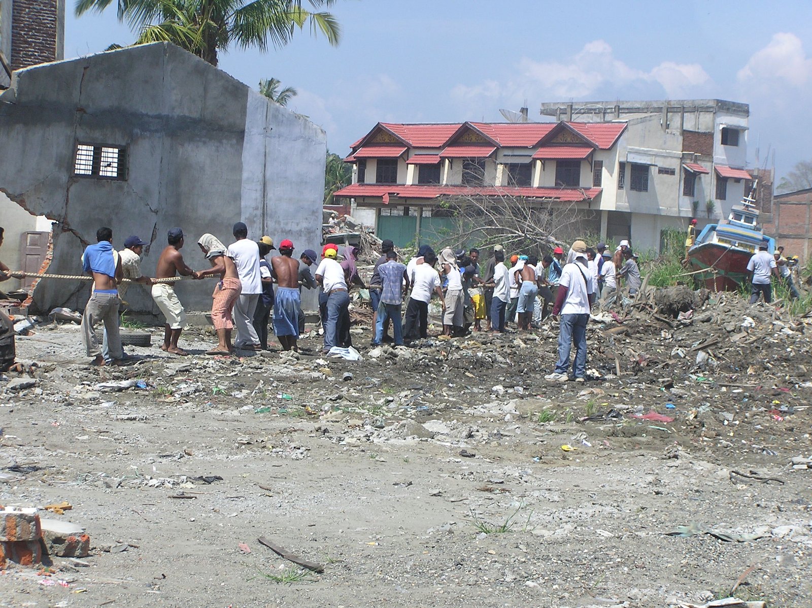
Indonesia’s sprawling archipelago, straddling major tectonic plates, makes it one of the world’s deadliest tsunami hotspots. The 2004 Indian Ocean tsunami, triggered by a 9.1-magnitude earthquake off Sumatra, killed about 230,000 people, with Indonesia suffering the highest toll. A 2023 report in “Natural Hazards” warns of continued risk, highlighting recent undersea quakes near Sulawesi and Sumatra that prompted regional tsunami alerts. The Indonesian government, with support from international agencies, has deployed hundreds of early warning buoys and established a centralized tsunami warning center. However, logistical challenges mean remote fishing villages, particularly on smaller islands, often lack timely access to alerts or evacuation routes. In 2024, disaster response drills have increased, but experts at the Indonesian Institute of Sciences say public preparedness in rural areas still lags behind urban centers. Recovery efforts from significant past events continue, especially in Aceh, where trauma and infrastructure rebuilding remain daily realities.
Chile: The Longest Coastline at Risk
Chile’s 4,300-kilometer Pacific coastline is a frontline for seismic and tsunami activity, with the country ranking among those most frequently impacted by major quakes. The 2010 Maule earthquake, one of the strongest ever recorded at magnitude 8.8, generated a tsunami that devastated several towns, leading to more than 500 deaths and displacing over 800,000 people. The National Seismological Center of Chile notes that the country experiences an average of 15 significant earthquakes each year, many with the potential to create tsunamis. In 2024, Chile’s government has expanded its seismic monitoring network to over 100 stations and rolled out a nationwide mobile alert system. Coastal evacuation drills are now annual events, with participation rates rising to 82% in high-risk communities, according to the Ministry of the Interior and Public Security. Yet, the challenge remains acute in remote fishing villages, where communication infrastructure is less robust, and evacuation routes can be compromised during disasters.
Philippines: A Nation on the Edge

The Philippines, a nation of more than 7,600 islands, faces persistent tsunami risks due to its tectonic setting along the Pacific Ring of Fire. Historical records from the Philippine Institute of Volcanology and Seismology (PHIVOLCS) detail dozens of impactful tsunamis, including the 1976 Moro Gulf tsunami that claimed over 5,000 lives. According to PHIVOLCS, the country experiences about 20 significant earthquakes annually, keeping the threat ever-present. By 2024, the government has implemented a multi-tiered disaster risk reduction plan, focusing on early warning systems, local government response training, and community evacuation drills. A 2024 national survey showed a 30% increase in tsunami awareness since 2020, but researchers from the University of the Philippines highlight ongoing deficiencies in evacuation infrastructure in smaller islands and fishing communities. Lack of access to real-time alerts and the rapid onset of local tsunamis—sometimes with less than 20 minutes warning—further complicate effective response.
United States: The West Coast Threat
The United States, especially its Pacific coastline, faces significant tsunami threats arising from tectonic activity along the Cascadia Subduction Zone and the Aleutian Trench. The 1964 Alaska earthquake generated a massive tsunami that struck the U.S. West Coast, causing deaths and millions in property damage in California, Oregon, and Hawaii. The National Oceanic and Atmospheric Administration (NOAA) has identified the Pacific Northwest as particularly at risk, with new 2024 modeling suggesting a major Cascadia quake could send a tsunami reaching major cities like Seattle within 15–30 minutes. In response, the U.S. has enhanced its Tsunami Warning System, leveraging deep-ocean pressure sensors and real-time alerts pushed to smartphones. Community preparedness programs have expanded, and schools in coastal areas now conduct mandatory tsunami evacuation drills. Despite these efforts, a 2024 FEMA assessment found that over 40% of residents in some high-risk zones remain unaware of evacuation procedures, highlighting an urgent need for ongoing public education.
Luxembourg: A Landlocked Safety

Luxembourg, nestled in the heart of Western Europe, is entirely insulated from tsunami risk by its landlocked geography. With no coastline or large inland water bodies, the country is geologically incapable of experiencing a tsunami. Instead, Luxembourg’s primary natural threats are river flooding and localized landslides, particularly during increasingly intense rainfall events, as noted in a 2024 report by the Luxembourg Institute of Science and Technology. The government has shifted its disaster preparedness focus to these risks, implementing a national flood early warning system and investing in improved drainage infrastructure in urban areas. Emergency management drills are held regularly, and public communication campaigns are conducted to keep residents informed of non-tsunami hazards. As of 2024, no scenario modeling by the national disaster agency includes tsunamis among risk factors, confirming the nation’s secure status.
Switzerland: Mountainous and Secure
Switzerland is famously landlocked, with its landscape dominated by the Swiss Alps and hundreds of freshwater lakes, none of which are large enough to generate tsunami-like waves. The Swiss Federal Office for Civil Protection, in its 2024 risk assessment, makes no mention of tsunami threats, instead prioritizing hazards such as avalanches, flash floods, and earthquakes. The country’s extensive emergency planning includes community shelters and detailed public guidance on responding to mountain disasters, but tsunami preparedness is not required. Swiss authorities conduct frequent drills for scenarios such as dam breaches and heavy rainfall, which represent the most significant water-related dangers. Disaster education is integrated into the national school curriculum, ensuring future generations are aware and prepared for Switzerland’s unique hazards. The country’s robust infrastructure and high public awareness contribute to its reputation for safety from oceanic disasters.
Vatican City: The Smallest Sovereign State

Vatican City, entirely surrounded by the city of Rome, is the world’s smallest independent country and has no direct access to the sea. With its location over 20 kilometers from the nearest coastline, it is categorically free from any tsunami risk. In 2024, Vatican emergency planning remains focused on crowd management, fire safety, and seismic events, particularly due to the region’s moderate earthquake risk. The Vatican’s Directorate of Security and Civil Protection conducts regular emergency drills involving both residents and the thousands of daily visitors. While tsunamis pose no threat, the Vatican collaborates with Italian authorities to ensure coordinated responses to any emergencies that may arise in the surrounding area. Public information materials distributed within Vatican City emphasize general safety without reference to tsunami scenarios.
Mongolia: A Landlocked Nation
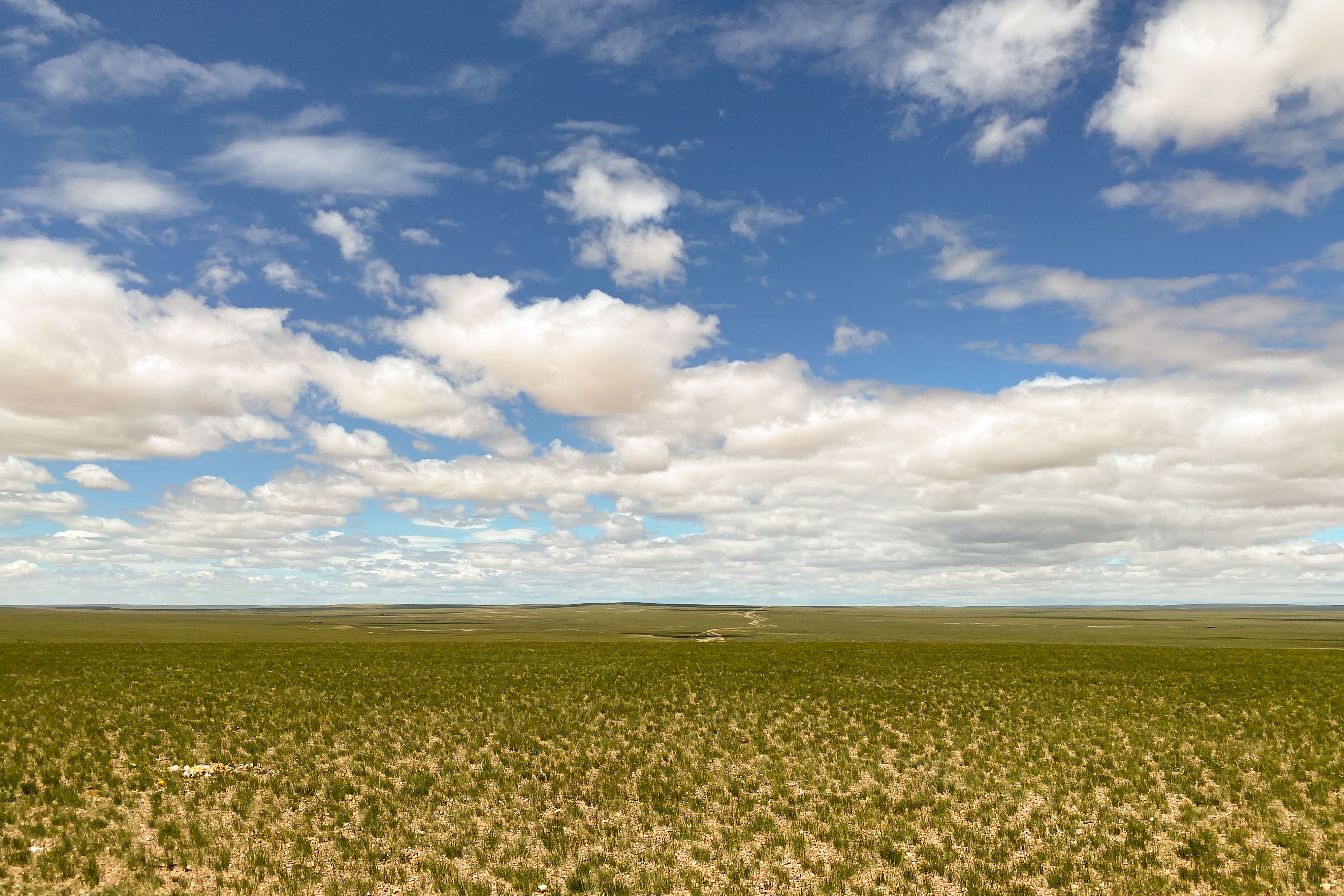
Mongolia, bordered by Russia and China, is characterized by vast steppes, deserts, and rugged mountains, with no access to any ocean or large sea. This geographic isolation ensures that Mongolia faces zero tsunami threat. According to the National Emergency Management Agency of Mongolia, the country’s main natural hazards include extreme cold waves, droughts, and occasional river flooding. Government efforts in 2024 are focused on improving early warning systems for these hazards and bolstering infrastructure resilience against harsh weather. Annual disaster response drills are conducted in both urban and rural regions, educating citizens on how to respond to the country’s specific risks. International partnerships, including support from the United Nations, help Mongolia develop strategies for climate adaptation and disaster resilience, entirely independent of tsunami risk.