Welcome to my article about the El Salvador Mountains, enjoy reading!
El Salvador is a small Central American country with a diverse landscape that includes towering volcanoes, lush forests, and beautiful beaches. Despite its small size, the country is home to several impressive mountains that offer a wide range of activities for visitors.

El Salvador Geographical Data
El Salvador is a nation located in Central America, situated along the western coastline. It shares boundaries with Guatemala and Honduras, making it the most densely populated country in Central America. Spanning 8,124 square miles, the estimated population of El Salvador is 6.4 million.

This country is renowned for its production of coffee, which its economy heavily relies on. Additionally, El Salvador is known for it’s beautiful beaches, rich culture and vibrant nightlife.
The nation is also a major exporter of textiles, sugar, and shrimp. Tourism has become an important part of El Salvador’s economy in recent decades. Travelers flock to the country for its beautiful landscapes, unique wildlife and fascinating history.
Highest Mountains in El Salvador
There are very many mountains in El Salvador (over 1200). The highest point is Cerro El Pital with an altitude of 8,957 feet. The most prominent mountain is Chaparrastique with an elevation of 6,990 feet.
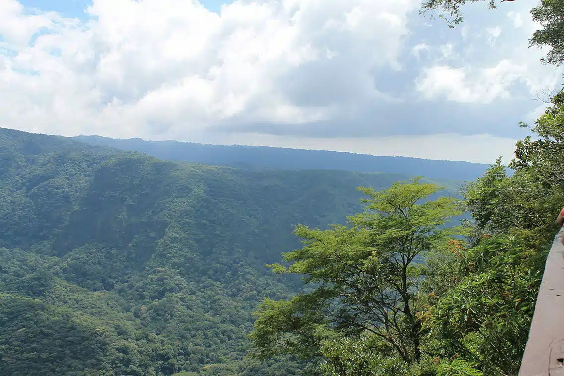
The country is crossed by two large mountain ranges, between which there is a large plain. Together with the plain, these mountain ranges cover over 85% of the country. El Salvador also has some impressive large volcanoes, which we will also present here.
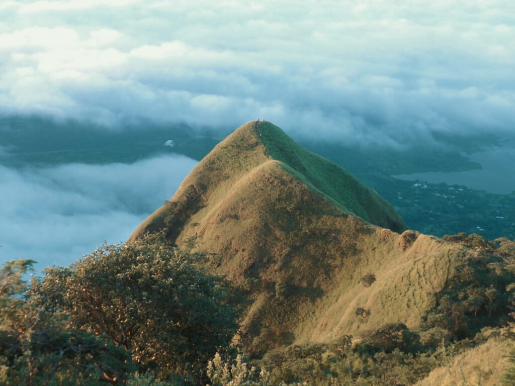
1. Cerro El Pital
El Pital is an international mountain situated precisely on the border between El Salvador and Honduras. It is the highest peak in El Salvador and the third highest in Honduras, boasting an altitude of 2,730 meters above sea level. Its cool climate is enhanced by a moist forest of trees such as pine, oak, oak, and cypress. The summit of the hill is known as Horqueta. It is a popular tourist attraction due to its position straddling the El Salvador-Honduras border.
It has steep gradients and a total area of 38 kilometers, including its buffer zone. Many people come to the area for ecotourism activities like camping, wildlife and flora observation, and hiking the different trails.
It is regarded as one of the best places to experience low temperatures for those who enjoy cold weather. The camping area is situated at a height of 2,730 meters between the two peaks of the mountain, creating a wind corridor there.
Temperatures at that part of the mountain are around 10 °C lower than in adjacent locations, which are also only a few meters away. The vegetation consists of conifers and oaks, with some species such as White Pine, Pinabete, and several varieties of oaks being almost extinct in El Salvador and only found in this location.
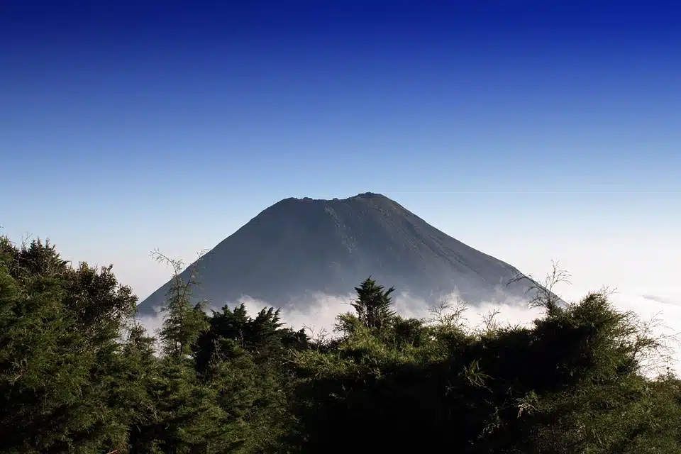
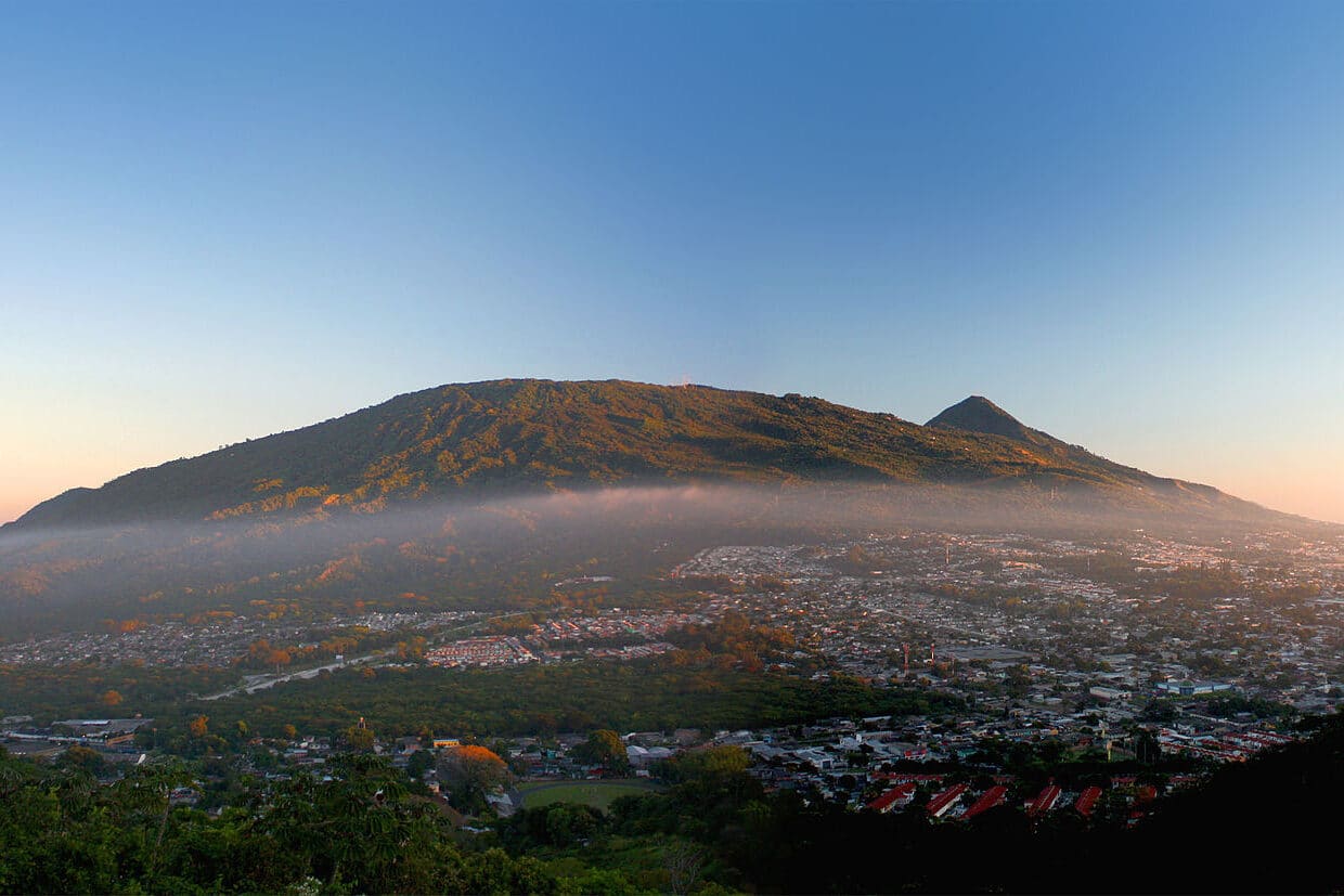
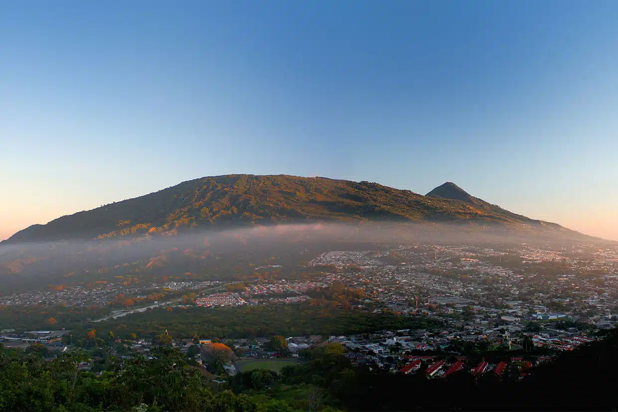
2. San Salvador Volcano
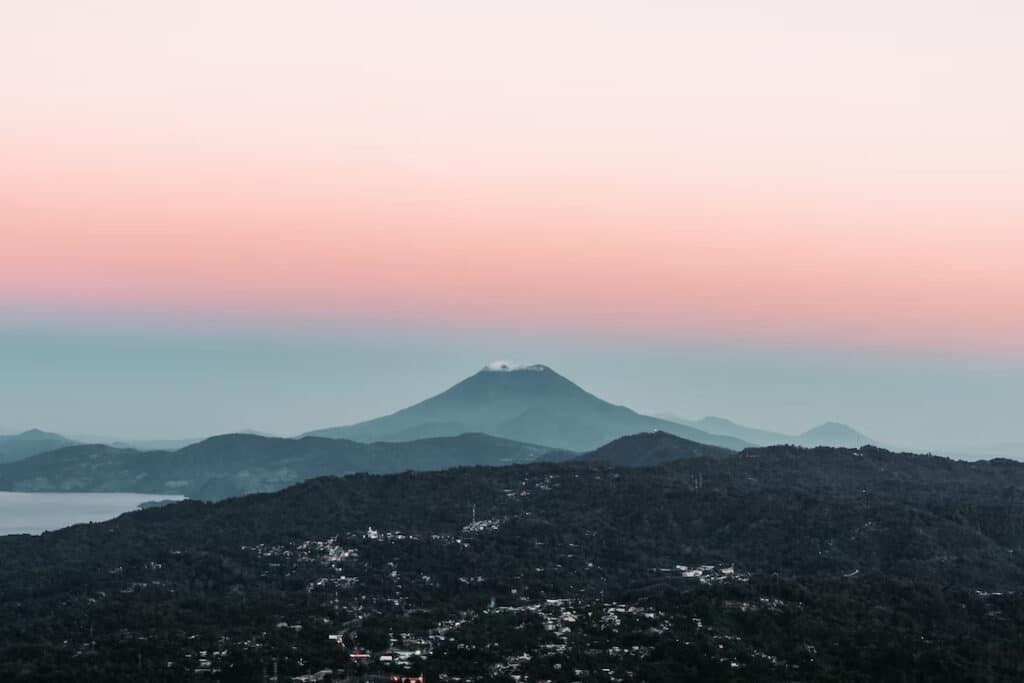
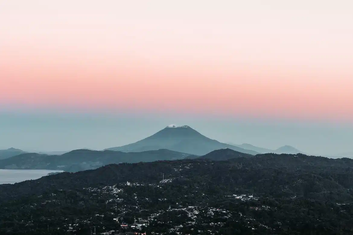
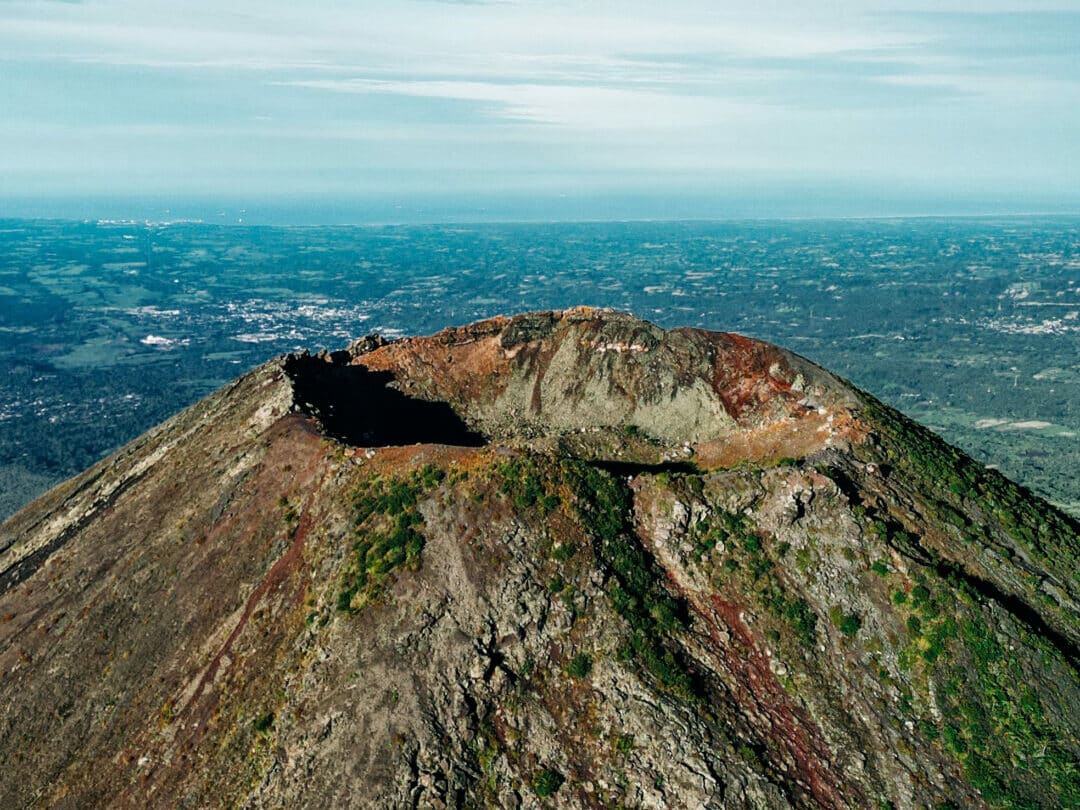
One of the most popular mountains in El Salvador is the San Salvador volcano, also known as Quezaltepeque or El Boquerón, located close to San Salvador’s outskirts. Recently formed, the Boquerón volcano has filled the crater to the brim. The city of San Salvador is located in the mountain’s vicinity, with its western side built on the slopes of the volcano. Consequently, any seismic activity has the potential to cause mass destruction. The volcano is also a popular spot for hiking and climbing, and there are several trails that lead to the top.
Despite this, El Picacho, the highest peak in the area, is topped by several radio and television towers, making it a symbol of the city. The Boquerón edifice was built to fill an earlier caldera and is visible as a crescent-shaped ridge on the north-east side of the volcano.
The lavas of the building contain a higher amount of alkaline elements and iron oxide than the earlier one. The crater, 1.5 km in diameter and 500 metres deep, takes its name from this feature, Boquerón (= ‘big mouth’).
The magma chamber beneath the volcano has several fissures running along its sides and flanks, with the Northwest Fissure (N40W) being the most active. Major eruptions such as the Loma Caldera and El Playon have occurred here. The latter destroyed the town of Nexapa and its inhabitants moved to Nejapa, where the event is commemorated annually.
The last eruption of the volcano, in the year 1917, was a flank eruption along the N40W fissure and the crater lake inside the Boquerón vanished, leaving behind the cinder cone, ‘Boqueróncito.’ San Salvador is located northwest of the city of San Salvador in El Salvador. Its elevation is 1,890 m (6,210 ft).
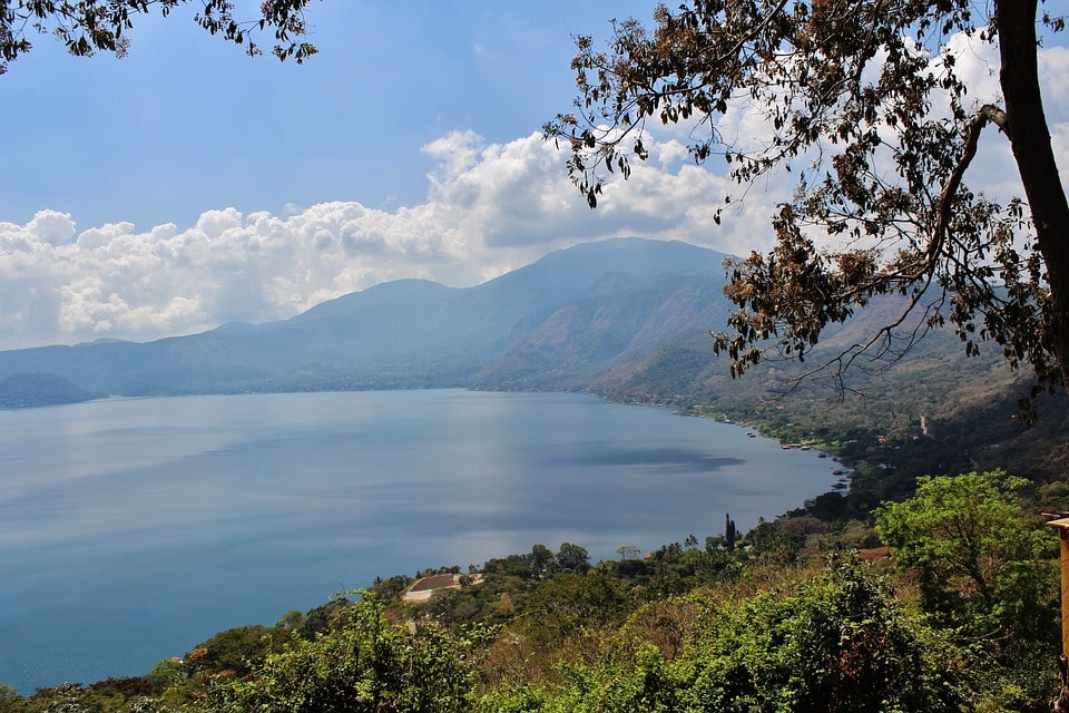
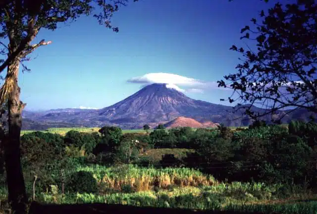
3. Santa Ana Volcano (Ilamatepec)

Another popular mountain in El Salvador is the Santa Ana volcano (also known as Ilamatepec), the highest peak in the country. Located in the western part of the country, the Santa Ana volcano offers breathtaking views of the surrounding landscape and is a popular spot for hiking and climbing. The volcano is also home to a number of interesting wildlife species, including the elusive jaguar.
The summit of Santa Ana is home to four nested calderas and volcanic craters, the innermost of which contains a small crater lake.
The collapse of the summit in the late Pleistocene, estimated to be no more than 57,000 years ago, caused a massive debris avalanche that became the Acajutla Peninsula. Subsequent eruptions have reconstructed the structure.

Since the 16th century, there have been numerous eruptions at the summit and from cinder cones on the lower flanks and the flank vents of San Marcelino east of Santa Ana. In 1722, the San Marcelino vents erupted and flowed eastwards for 11 km, demolishing the town of San Juan Tecpan.
In October 2005, the volcano erupted, killing two individuals and wounding seven more, inducing many to flee their homes. The eruption sent rocks the size of cars flying for almost 0.93 miles. The destruction was amplified by Hurricane Stan. The last eruption prior to this occurred in 1904. The Santa Ana Volcano is situated in the Santa Ana department of El Salvador and stands at an elevation of 2,380m.
4. San Vicente
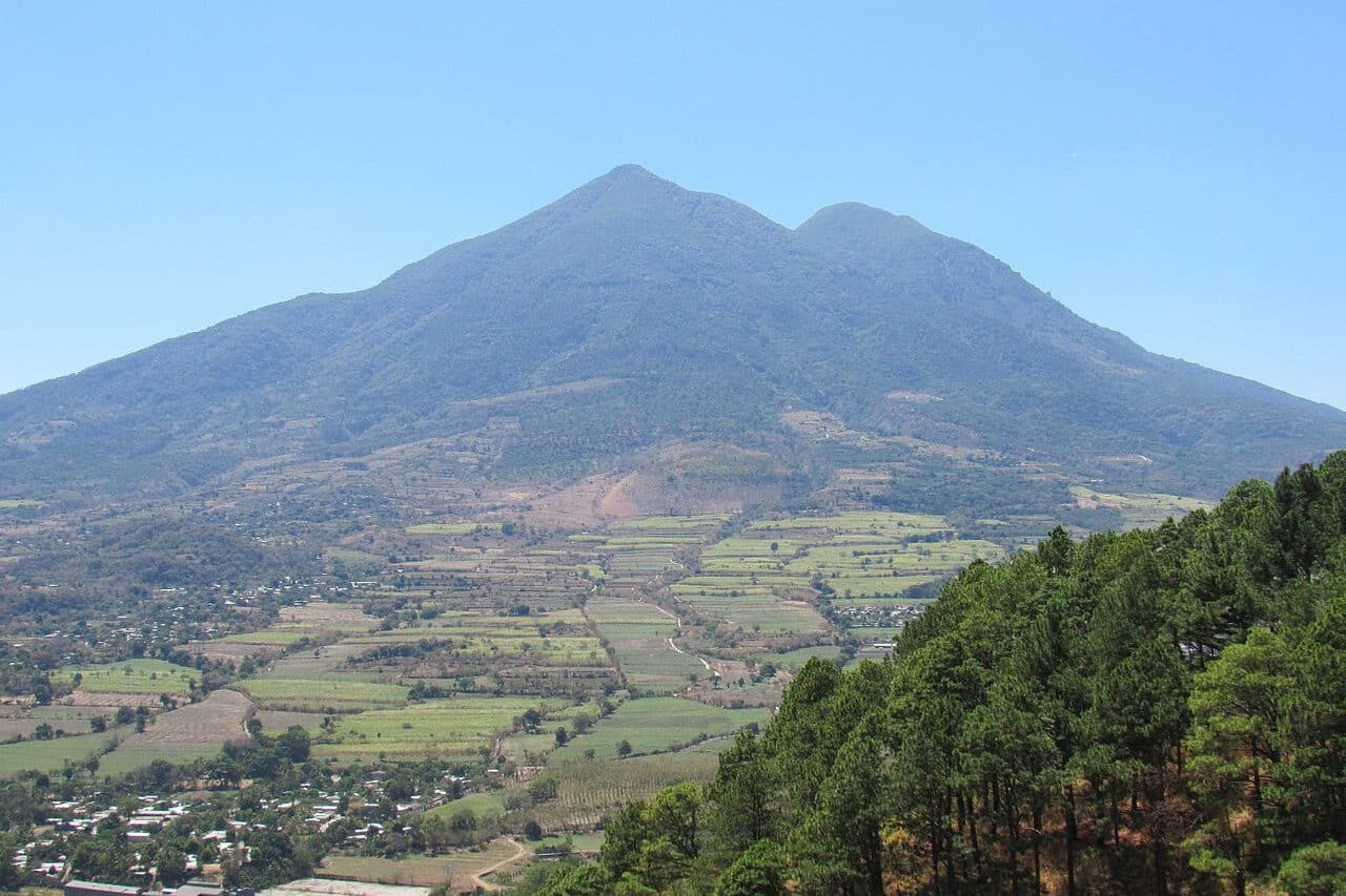

Also known as Chichontepec or Las Chiches, San Vicente is a stratovolcano located in the center of El Salvador, near the city of the same name. This volcano is the second highest in El Salvador, boasting a height of around 2,180 meters (7,150 ft).
On the volcano’s northern and western flanks, there are several hot springs and fumaroles – fountains of clear and murky water or miniature mud volcanoes – that can be found 820 meters northeast in a 180-meter long ravine. Both summits are covered in dense forest and there are two craters atop the volcano, though not precisely at the top.
The last major eruption is said to have taken place around 1,700 years ago. One of the most tragic events in the volcano’s history occurred in August, 1995, when Aviateca Flight 901 crashed into the mountain, killing all 65 people on board.
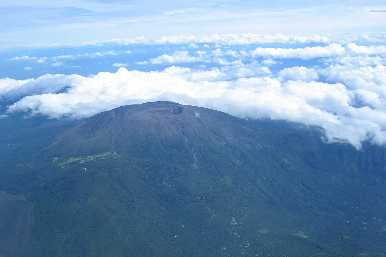
5. San Miguel

One of the Highest Mountain in El Salvador is known as San Miguel or Volcán de San Miguel (also referred to as Volcán Chaparrastique). This stratovolcano is situated in the central-eastern part of El Salvador, 15 kilometers (9.3 miles) away from San Miguel.
In January 2002, the summit crater emitted steam, gas, and ash, resulting in a brief three-hour eruption that did not cause any significant damage to people or property. Carbon dioxide emissions had been monitored since November 2001, and a steady increase was observed until the eruption.
In December 2013, Volcán de San Miguel erupted once again, pushing ash and smoke into the sky and requiring the evacuation of thousands of people residing within a 3 km (1.9 mi) radius of the volcano. San Miguel Department, El Salvador is the location of the volcano with an elevation of ~2,130 m (6,990 ft).
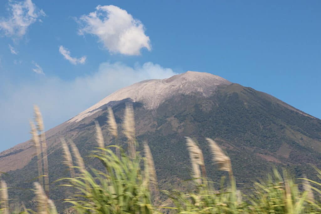
6. Izalco
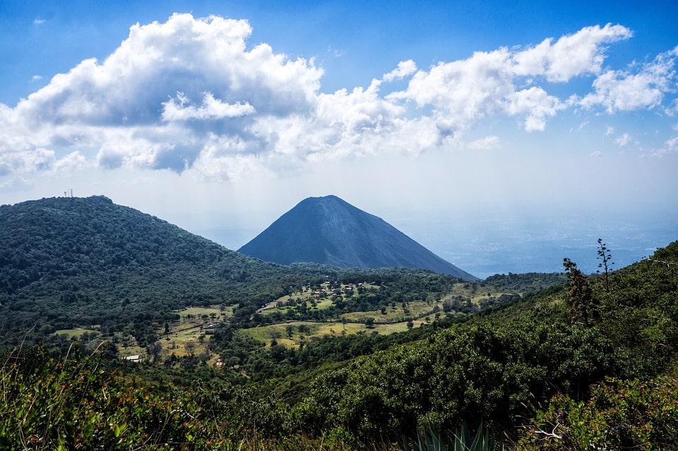

Izalco in El Salvador to feature on Toplist, is an active stratovolcano situated on the southern flank of the Santa Ana Volcano. Since its formation in 1658, it has had a history of fumarolic activity, culminating in its legendary eruption in 1770, which earned it the nickname ‘Lighthouse of the Pacific’ due to its frequent outbursts.
Despite being dormant since 1958, Izalco’s elevation of 1,950 m (6,400 ft) still commands awe and admiration. The nearby hotel, which was built to provide lodging with views of the erupting volcano, was unfortunately rendered redundant after the volcano’s last eruption.
The volcano is a national symbol of El Salvador and is depicted on the former 10 colón banknote. Visitors traveling to the country often take the opportunity to ascend the mountain via Cerro Verde National Park.
7. Volcan Chingo

The Volcan Chingo stands at an impressive 1,775 meters (5,823 feet) tall, making it the highest peak on the Guatemala/El Salvador border and the second tallest volcano among a group of volcanoes in Guatemala’s southeast region. It is a stratovolcano situated on the Guatemala-El Salvador border.
Despite having no recorded historical eruptions, Volcán Chingo is indeed active. The Smithsonian website recognizes it by its precise volcano number of 342170. One can easily identify this symmetrical stratovolcano by its small, oval-shaped crater that breaches towards the west side.
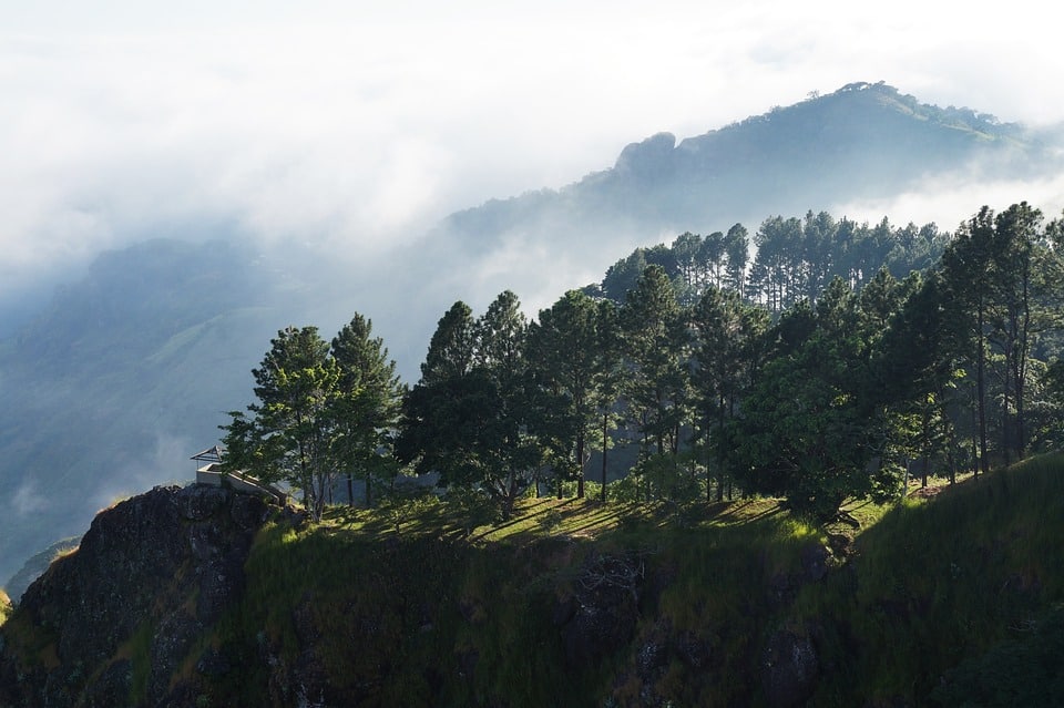
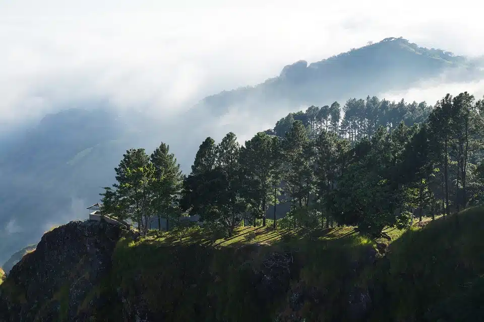
Hiking trails in El Salvador
1. Parque Nacional Los Volcanes
El Parque Nacional Los Volcanes is a protected area in El Salvador that contains three of the 14 “geologically adolescent” volcanoes (estimated by geologists to be between 2 million and 250 years old) in the Apaneca-Ilamatepec mountain range (located in the departments of Santa Ana and Sonsonate):
- Santa Ana
- Izalco
- Cerro Verde
It is referred to as the Volcanoes Complex due to the presence of the three behemoths. Each one renowned for its momentous historical occasions in Salvadoran life.

2. El Imposible National Park
On the first day of January, 1989, El Imposible National Park was assigned special protection, boasting a territory of 5000 hectares and a range of altitudes from 250 to 1425 meters. In 1992, the significance of both its cultural heritage and its natural elements earned the National Park a place on UNESCO’s Tentative List of Natural World Heritage, joining the Cara Sucia National Park (IUCN Category II (Parque nacional)).

This highland sector harbours the biggest intact forest in El Salvador. Additionally, the Late Classic period (600 – 900 A.D.) saw the rise of a regional center of the Cotzumalhuapa culture, making the most of the diverse coastal strip of Barra de Santiago with its sandy beaches, mangrove forests and floodplains set against a backdrop of volcanoes.
3. Parque Nacional Montecristo
Montecristo National Park is situated 5 km to the north-east of Metapán city in the Santa Ana department of El Salvador. It encompasses 1973 hectares of cloud forest and is a component of the La Fratenidad Biosphere Reserve.
It was the first protected area to be announced in El Salvador. It has also become a symbol of unity between the three Central American nations of Guatemala, El Salvador and Honduras as part of the Trifinio Region. Initiatives are being implemented to make this distinct region in Central America a tool for bettering the lifestyles of the border-based communities.
Summary – El Salvador Mountains

Overall, El Salvador is a great destination for outdoor enthusiasts and its mountains offer a wide range of activities for visitors. Whether you’re interested in hiking, climbing, or simply enjoying the stunning views, El Salvador has something for everyone.
Top 7 Mountains in El Salvador
| Mounten: | Heigh: |
| Cerro El Pital | 2,730 meters |
| Santa Ana Volcano | 2,380 meters |
| San Vicente | 2,180 meters |
| San Miguel | 2,180 meters |
| Izalco | 1,950 meters |
| San Salvador Volcano | 1,890 meters |
| Volcan Chingo | 1,775 meters |
Article: El Salvador Mountains! You can find more el salvador articles here: best places to visit in el salvador


Please send any feedback to [email protected]
- A Milestone in North Korea Tourism: Russian Tourists Arrive - January 14, 2024
- Rediscovering China’s Skies: China International Flights Recovery - January 7, 2024
- Exploring the Philippines: A Record-Breaking Tourism in 2023 - January 7, 2024